
MELOA: New low-cost, low-power drifters to improve sea observation and monitoring systems in coastal and oceanic areas
October 2, 2024
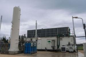
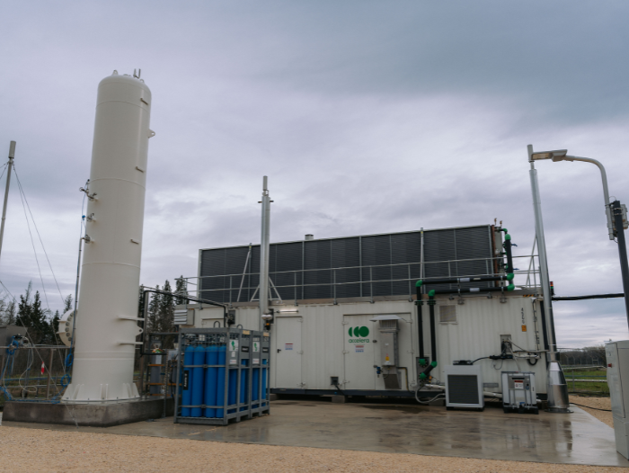
LIFE BIOGASNET: A new cost-effective and low-carbon biogas purification technology
October 29, 202425/10/2024
As part of the USEFUL project, the Centre for Sensor, Instrumentation and Systems Development (CD6) at the Universitat Politècnica de Catalunya - BarcelonaTech (UPC) has equipped a low-emission vehicle that will drive through the streets of Terrassa with optical sensors integrated into a complex system for data computing, visualisation, and storage. This car will collect and store thousands of anonymous driving data points, which will be used to develop more accurate algorithms for autonomous driving.
Autonomous driving is the future of urban mobility, especially in an increasingly ageing society. In the medium term, journeys will be made in vehicles capable of making real-time decisions without human intervention in all types of situations, and the first trials have already begun in cities like San Francisco, Phoenix, and Singapore. Autonomous driving will help optimise energy consumption and traffic management, reduce accidents, and improve mobility for groups such as the elderly or disabled.
Achieving this transformation requires large volumes of precise data from detectors with various operational modes, enabling autonomous systems to interpret their surroundings and act safely, even in complex environments. This necessitates training advanced artificial intelligence (AI) algorithms, and for these algorithms to be reliable in all circumstances, they need a broad and diverse set of data to generate realistic and generalised information that helps the AI learn and make robust decisions.
In this context, the Spanish State Research Agency, under the Ministry of Science, Innovation and Universities, through the Ecological and Digital Transition program, has provided funding of €273,000 to the UPC's CD6 group to launch the USEFUL project. In this project, CD6 has equipped a low-emission vehicle with an integrated and computerised optical sensor system, which includes a high-resolution solid-state LIDAR (a type of laser sensor with a photodetector that measures distances) provided by UPC spin-off Beamagine; a high-precision geolocation and odometry system without the need for GPS (sensor data measurement in motion) provided by Anello Photonics; and a large-scale data storage system provided by QNAP.
The system used in the vehicle over six months includes a processing unit approved for autonomous driving systems that not only manages the acquisition of data from all sensors but also runs artificial intelligence neural networks for specific real-time applications, such as obstacle detection or 3D mapping of the environment.
With USEFUL, millions of images from multiple sensors, some of which are disruptive in the field of autonomous vehicles, will be gathered and converted into usable data to design reliable autonomous driving systems.
The data will be anonymised (not identifying pedestrians or vehicles) and incorporated into a public dataset that will allow other researchers to develop related algorithms. The goal is for the dataset to be as diverse as possible, capturing rural, urban, motorway, and other scenarios; including all types of vehicles, especially the most vulnerable such as bicycles or scooters; and collecting data in real weather conditions and realistic environments where sensor performance may vary. In fact, this data will be used to develop advanced applications for object detection on roads, environment mapping, movement prediction of road users, and digital twin creation, among other things, with greater reliability.
Additionally, USEFUL will allow testing different AI algorithm training methodologies to compare the most effective way of achieving secure perception systems. The vehicle will also enable future testing and validation of new types of autonomous driving sensors, new sensor distributions, or the development of detailed mapping applications for all types of environments.
The project is funded by the Ecological and Digital Transition program of the State Research Agency and is supported by Beamagine, Anello Photonics, QNAP, the School of Industrial, Aerospace and Audiovisual Engineering of Terrassa (ESEIAAT), and the Faculty of Optics and Optometry of Terrassa (FOOT) of the UPC. USEFUL began in January 2023 and will conclude in December 2024.


Sector
You want to know more?
Related Projects
- A team from the Resources Recovery and Environmental Management (R2EM) group, of the Barcelona Research Center in Multiscale Science and Engineering (CCEM), at the Universitat Politècnica de Catalunya - BarcelonaTech (UPC), is participating in the MagNa project, which is developing an innovative system to recover magnesium from the brines generated by the seawater desalination process. The recovered materials will be used for industrial purposes and will help reduce Europe’s trade dependence.
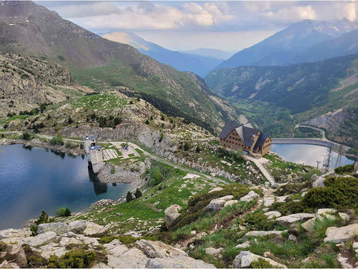
- The Center for Industrial Diagnostics (CDIF) and the Energy Processing and Integrated Circuits (EPIC) group at the Universitat Politècnica de Catalunya - BarcelonaTech (UPC) are participating in FLEXHYBAT (Design and control of flexible hydropower plants by hybridisation with second life batteries), a project exploring the hybridisation of hydropower plants with second-life batteries to improve their flexibility, efficiency and durability.
- The Centre for Technological Innovation in Static Converters and Drives (CITCEA) at the Universitat Politècnica de Catalunya - BarcelonaTech (UPC) participates in the H2GLASS project, which aims to accelerate decarbonisation in the glass industry through the development and application of the new technologies needed to achieve complete hydrogen (H₂) combustion in glass or steel production facilities.
- A team from the CATMech at the Universitat Politècnica de Catalunya - BarcelonaTech (UPC) has created a computer system that rapidly calculates the CO₂ balance of agricultural and forestry estates. The project, developed within the framework of Agrixels, is coordinated by the Intelligent Data Science and Artificial Intelligence Research Center (IDEAI-UPC) and applies machine learning, artificial intelligence and satellite data methodologies to estimate the emissions and carbon absorption capacity of a plot of land in just three minutes.

