

Natural biopolymer aerogels for purifying water with solar energy
May 20, 2026
EcoPolyRub: Sustainable Rubber Materials from wastes for solid-state cooling
May 28, 202626/05/2026
A UPC research team, from the CommSensLab-UPC and the Remote Sensing Lab (RSLAB) at the Universitat Politècnica de Catalunya - BarcelonaTech (UPC), together with the Institut d’Estudis Espacials de Catalunya (IEEC), has participated in the AI4EO project, with the aim of promoting solutions and putting into practice artificial intelligence tools applied to Earth observation data in various use cases in Catalonia.
In recent years, the use of Earth observation data has grown significantly, mainly because of the need to address challenges linked to climate change and the multiple use cases that arise from it. Among other applications, these data enable agricultural and forestry monitoring, the monitoring of fires, droughts, floods and river overflows, coastal monitoring, the analysis of ground movements and earthquakes, and the study of areas affected by natural or anthropogenic phenomena.
This growing volume of data, often complex and heterogeneous, requires a large processing capacity and tools capable of extracting useful information quickly and efficiently. This is where artificial intelligence tools come into play. AI is currently applied in practically every sector, from medicine and finance to human resources and telephony, because it enables large volumes of data to be interpreted more simply and patterns and relevant information to be extracted.
In the field of Earth observation, the use of these tools is particularly relevant because of the large amount of data available and the complexity of processing and analysing it. The AI4EO project (Artificial Intelligence for Earth Observation) was created in response to this need, with the aim of applying artificial intelligence technologies, including machine learning and deep learning, to the analysis of satellite remote sensing data.
In this context, the researchers mapped the Catalan public and private ecosystem that carries out activities linked to AI4EO. This work has made it possible to catalogue which activities are being carried out, which actors are involved and how they are evolving, as well as to assess the prospects for using these technologies in the Catalan ecosystem.
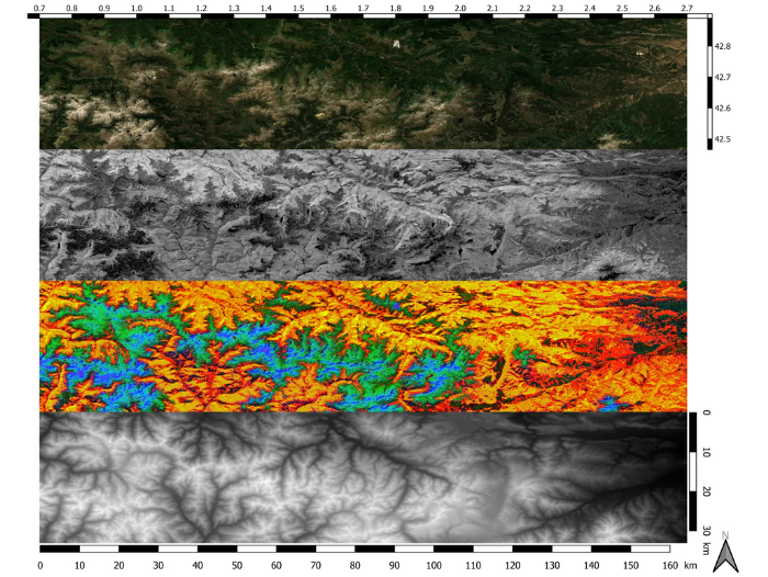
The project has moved towards the development of specific projects and use cases in which these technologies can provide relevant information on Catalonia. Specifically, they have been applied in the forestry field, with the aim of quantitatively estimating forest height and biomass in a pilot area in the Pyrenees.
The novelty of the project lies in the advanced integration of AI with satellite data to generate operational products that can be used by companies and public authorities in decision-making, as well as in the creation of new data-based business models (carbon markets). The solution focuses on developing models capable of automating and improving the analysis of large volumes of information, reducing manual workload and increasing the speed and accuracy of the results.
The UPC research team has contributed its expert knowledge in remote sensing data processing and advanced algorithm development. Its contribution has focused on adapting AI technologies to the specific characteristics of satellite data and ensuring reliable, scalable results for real-world applications.
Budget and Funding
The project ran for one year (30/04/2024 - 30/04/2025), funded by the Institut d’Estudis Espacials de Catalunya (IEEC) with a budget of €55,000 as part of Catalonia’s NewSpace Strategy, promoted by the Government of Catalonia.
Sector
You want to know more?
Related Projects
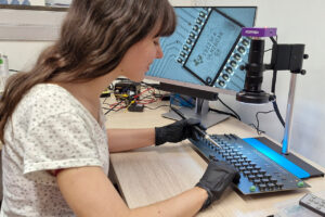
- A team from the Matrix Analysis and Discrete Potential Theory (MAPTHE) research group at the Universitat Politècnica de Catalunya - BarcelonaTech (UPC), and the Department of Mathematics at CUNEF Universidad in Madrid, have participated in the development of MARIA, a prototype of a portable, flexible and radiation-free device designed to improve the early detection of breast cancer. The device can identify tumours through electrical conductivity, with the aim of enabling its future use in primary care settings.
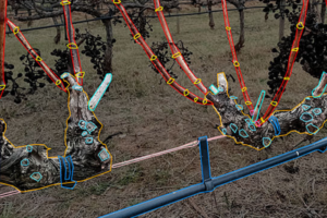
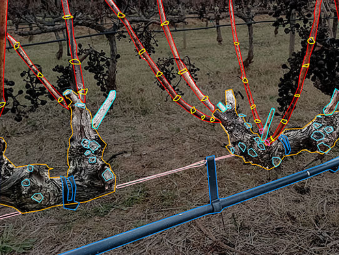
- The Center for Industrial Equipment Design (CDEI-UPC) at the Universitat Politècnica de Catalunya - BarcelonaTech (UPC) is participating in a cross-border project aimed at promoting the use of advanced digital technologies in viticulture in regions on both sides of the Pyrenees. The initiative seeks to improve specialist training, technical advice and decision-making in vineyard management.
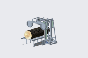
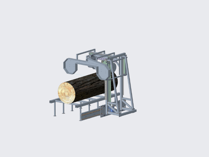
- The Centre for Industrial Equipment Design (CDEI) at the Universitat Politècnica de Catalunya - BarcelonaTech (UPC), together with the IRI, Institut de Robòtica i Informàtica Industrial (CSIC-UPC), is participating in the development of a pre-commercial prototype of an automatic portable sawmill that integrates computer vision, artificial intelligence and computer numerical control to improve productivity, efficiency and safety in local wood processing for the company Envall Coop. S.L.
STOR-HY: More flexible, efficient and resilient hydropower storage for the European electricity grid
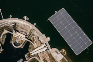
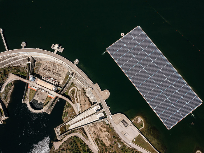
The Center for Industrial Diagnostics (CDIF) at the Universitat Politècnica de Catalunya - BarcelonaTech (UPC) coordinates the European STOR-HY project, which develops digital tools, monitoring systems and advanced models to optimise the operation of pumped-storage hydropower plants and reduce their investment and maintenance costs.